


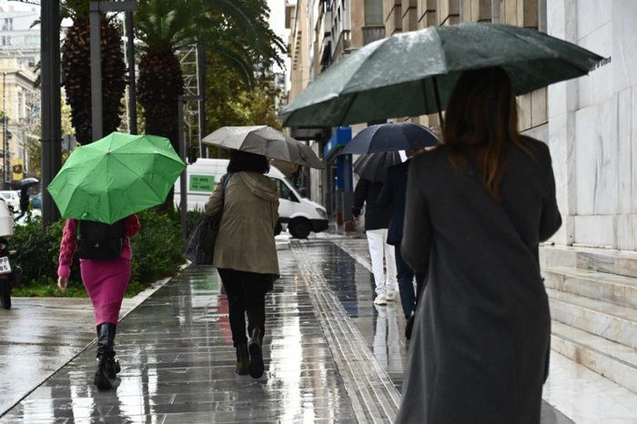
The area is under a weak low-pressure system. Today, expect mostly cloudy skies with some local showers and a few thunderstorms. These will start along the coast and later move to the mountains and inland areas. Snow or sleet might fall on the highest peaks of Troodos.
Winds will mainly come from the northeast to southeast, blowing at 3 to 4 Beaufort. They will gradually pick up to 4 to 5 Beaufort along the coast. The sea will start off calm to slightly rough but will become generally slightly rough later. Temperatures will reach 17 degrees inland, around 18 degrees on the coast, and 8 degrees in the higher mountains.
Tonight, expect partly cloudy weather with a chance of isolated showers, mainly in the mountains. Snow or sleet is likely on the highest peaks of Troodos. Winds will come from the northeast, blowing moderately to strongly at 4 to 5 Beaufort, while the sea stays slightly rough. Temperatures will drop to 8 degrees inland, 10 degrees on the coast, and 3 degrees in the higher mountains, where frost may form locally.
On Tuesday, Wednesday, and Thursday, the weather will be mostly clear. Until Wednesday, temperatures will stay close to seasonal averages, with a slight rise expected on Thursday.
